
 |
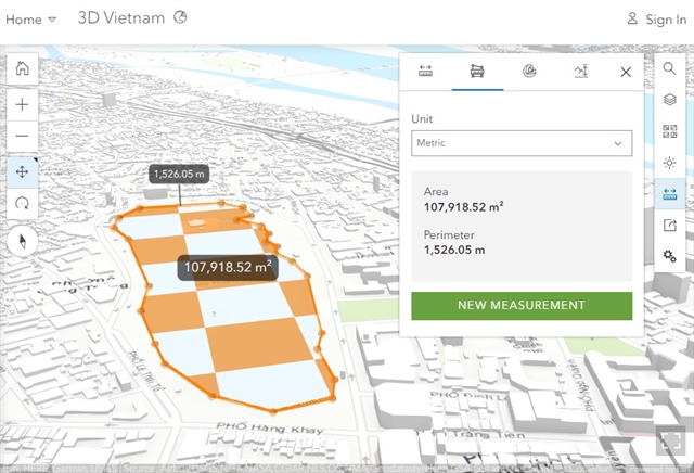
| Area measurements of Hoàn Kiếm Lake on the Việt Nam Geospatial Information Portal. — VNS Screenshot |
HÀ NỘI — Spatial data infrastructure (SDI) has been leveraged in administrative reforms for socio-economic development, environment protection and ultimately e-Government management.
Multiple Vietnamese state agencies and departments have been carrying out projects to establish their SDI and geographic information systems (GIS).
Trần Anh Tuấn, head of the technology division of the Department of Survey, Mapping and Geographic Information (DOSM) under the Ministry of National Resources and Environment, said that leveraging spatial data in shared infrastructure fosters an environment for cooperation and information sharing, while ensuring technical comprehensiveness.
Việt Nam has developed important policies and frameworks to promote SDI, such as the Law on Survey and Mapping, as well as a national development strategy which focuses on building a national geospatial data infrastructure by 2030.
The DOSM is building and managing the national SDI to ensure data sharing and integration with other state agencies and between localities for the development of e-Government, or online public services.
In the long term, this will contribute to the digital economy and a digital society, as well as connect with the regional SDI network.
Following the Prime Minister’s Decision No 40/QĐ-TTg dated January 9, 2020 on building and completing the national spatial database, the DOSM has developed geographic mapping at scales of 1:100,000, 1:250,000, 1:500,000 and 1:1,000,000, which will contribute to the national SDI.
Localities are also actively updating geographic data at more detailed scales of 1:2,000 and 1:5,000.
SDI development in Việt Nam requires better application of advanced technologies such as artificial intelligence and IoT (Internet of Things), said Tuấn.
Strengthening coordination and data sharing between stakeholders are also areas of focus, he said, emphasising the need for investments in technical infrastructure and a specialised workforce.
In addition to promoting technology advancements and infrastructure investments in sharing and integration of national spatial data for governance, socio-economic growth and national defence and security are also of high importance, he added.
The DOSM has completed a trial operation on the Việt Nam Geospatial Information Portal, which is built to support data management, storing and connection for the governance needs of ministries, sectors and localities.
This database is also used in planning, disaster prevention and climate change response.
Once the Việt Nam Geospatial Information Portal begins official operations, it will ensure easy and convenient access to comprehensive national geospatial data.
The platform also offers various services, including data sharing, conversion, analysis, integration, query and downloading. — VNS